Some New Orleans levees still in danger


TEXT OF STORY
Tess Vigeland: Almost two years and more than a billion dollars later, parts of New Orleans are still vulnerable to floods that could wipe out large swaths of progress made since Hurricane Katrina.
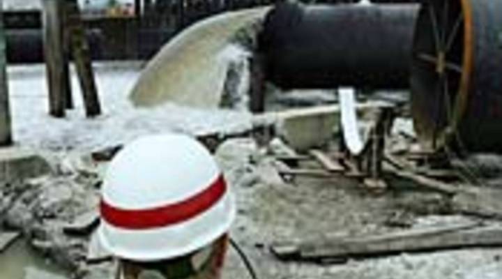
The Army Corps of Engineers has released a report and maps showing that while some neighborhoods are benefitting from stronger levees and pumps, others — including the embattled Lower Ninth Ward — could again find themselves underwater.
Lieutenant Colonel David Burczek is a project manager with the Army Corps, and has been talking to residents about who’s at risk.
Lt. Col. David Burczek: Typical first question was, are we safer? And the model can show . . . the model will definitely show that where . . . in the areas where the work has been completed, we have reduced the level of risk.
Unfortunately for some homeowners, the maps are a bit tardy. They’ve already started building in areas now shown to face potential flooding despite the ongoing repair efforts. And insurance companies are likely to use the report to help determine coverage and premiums.
Stories You Might Like


There’s a lot happening in the world. Through it all, Marketplace is here for you.
You rely on Marketplace to break down the world’s events and tell you how it affects you in a fact-based, approachable way. We rely on your financial support to keep making that possible.
Your donation today powers the independent journalism that you rely on. For just $5/month, you can help sustain Marketplace so we can keep reporting on the things that matter to you.