An aerial map quest, with drones


Skycatch is a company built around drones. But CEO Christian Sanz isn’t interested in using drones to deliver goods or spy on people.
“For us, it’s just another server that happens to have propellers on it,” Sanz says.
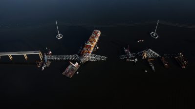
Skycatch uses drones to obtain aerial 3D images of construction sites. Companies use the detailed maps for planning and coordinating. In some cases, businesses use the maps to help them automate bulldozers and other construction equipment on the ground.
“We are the first company to automate another machine using a drone,” Sanz says.
According to Sanz, using Skycatch’s services is as simple as opening up an app. “We invented this concept of being able to, at any given point, open up your app and make a call or just highlight the area you want mapped, and we immediately match you up with a pilot,” he says.
And for all the budding drone pilots out there, Skycatch is looking for recruits.
“Right now we are going through a process of verifying and also certifying pilots,” Sanz says.
Stories You Might Like


There’s a lot happening in the world. Through it all, Marketplace is here for you.
You rely on Marketplace to break down the world’s events and tell you how it affects you in a fact-based, approachable way. We rely on your financial support to keep making that possible.
Your donation today powers the independent journalism that you rely on. For just $5/month, you can help sustain Marketplace so we can keep reporting on the things that matter to you.